In my corner of Detroit’s suburban sprawl, I’m lucky to have a nice park close by, and a somewhat unusual one: Lakeside Island Park.
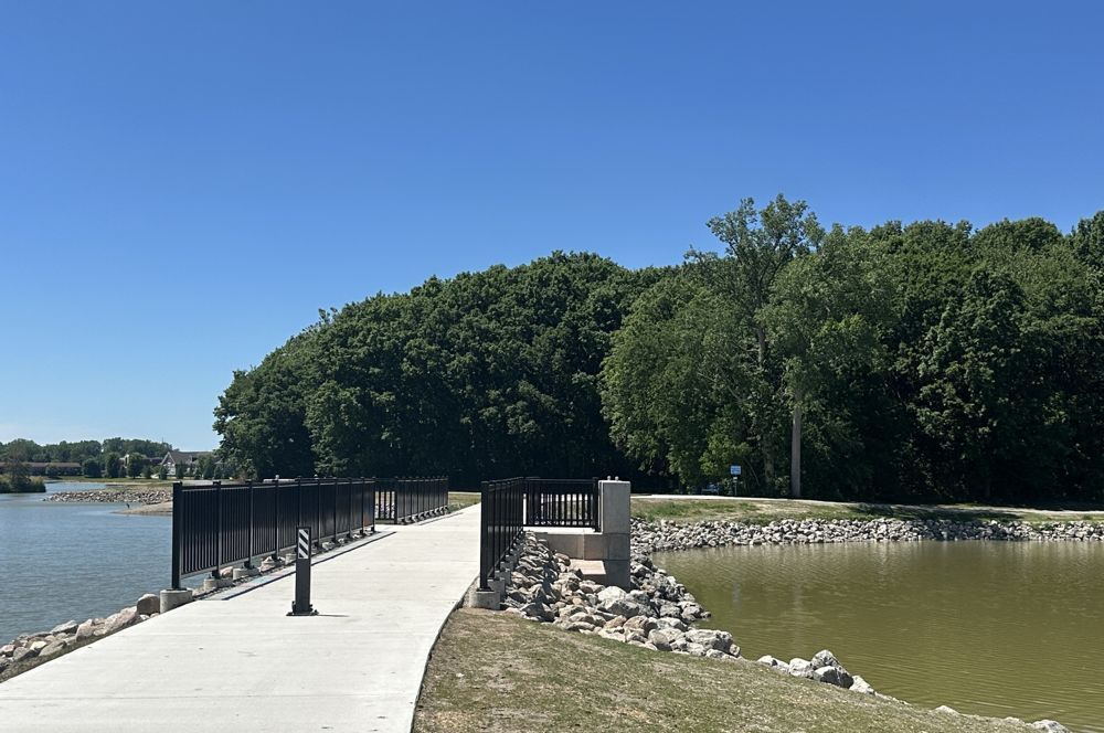
It’s a small island in a man-made lake next to Lakeside Mall, a mall that was once a local landmark but is now slated for demolition. They’re planning to transform the site into a walkable mixed-use thing, full of coffee shops and apartments and stuff, called Lakeside City Center. That could have significant implications for this little park, which until now has existed in relative obscurity, known mostly by the few who live on the lake or happen to have stared at Google Maps long enough to notice it. In my experience, nobody seems to realize there actually is a lake next to Lakeside Mall, let alone an island in it.
Access to the island is currently limited to one bridge, tucked into a corner of a quiet residential area. However, a second bridge has been proposed that would connect to Lakeside City Center, which itself will connect to the brand-new ITC Trail, at the other end of which begins another 16-mile sequence of trails I once mapped and followed all the way to downtown Rochester. The potential new bridge appears in Sterling Heights’ 2025 master plan and was mentioned at a City Council meeting back in May.
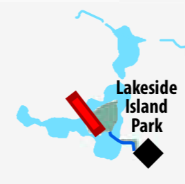
The councilor who mentioned it, Michael V. Radtke Jr., told me any new bridge is far on the horizon.
“As of right now, there are no funding sources identified nor plans to build the connecting pedestrian bridge,” Radtke said. “It’s something that we want in the future, but it’ll be expensive, and it isn’t a priority until parts of the Lakeside City Center are completed.”
Still, I wanted to start cataloguing the current state of Lakeside Island Park before the next chapter of its surrounding area got underway. So here’s a description of it as it stood in the summer of 2026.
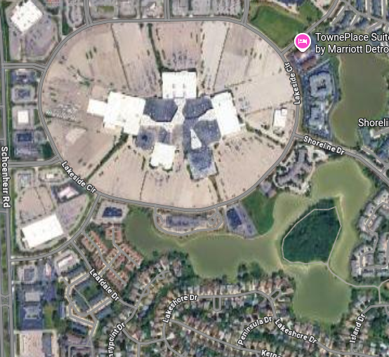
The island covers 10.9 acres and is ringed by a path about 0.4 miles around. Here’s a satellite view of the island (dark green blob in the bottom right) and Lakeside Mall (large gray blob in the top left).
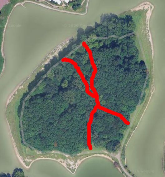
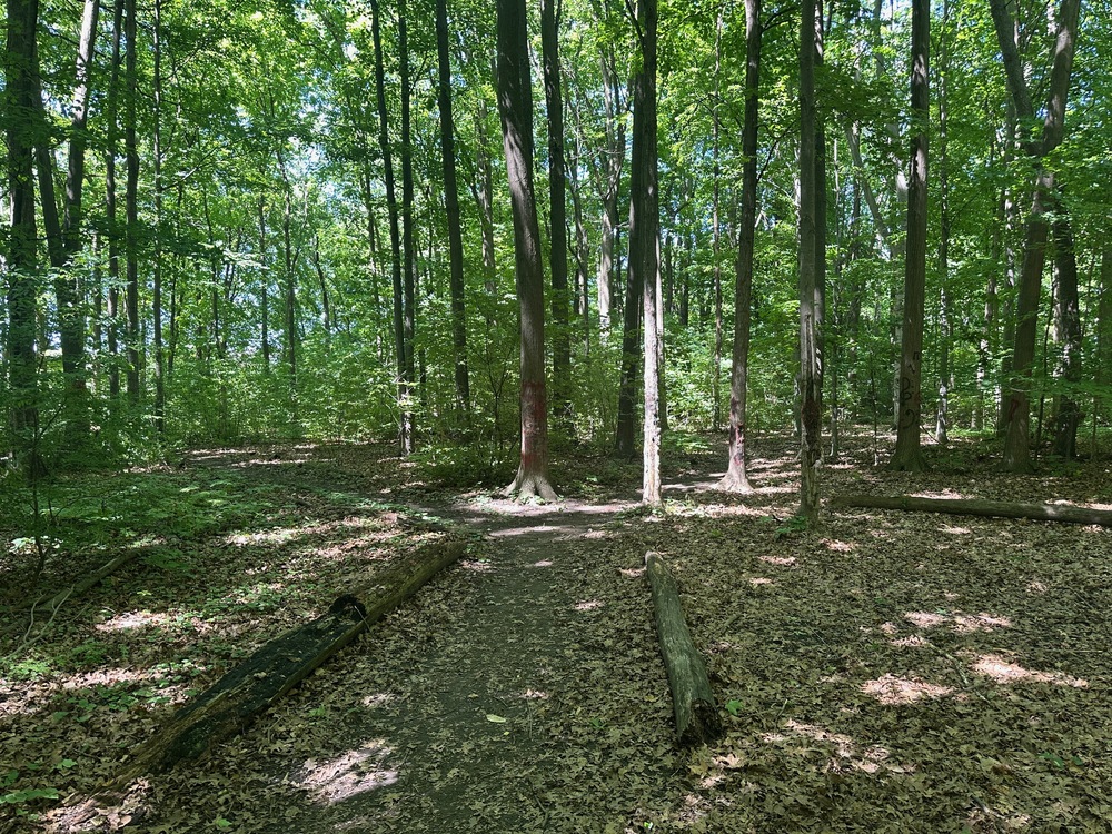
A small forest occupies the center of the island, with four entrances to trails that converge in the middle. Here’s a map of those trails.
People of all ages can commonly be seen fishing the lake, though I don’t know what they catch. We’ve seen great blue herons and great egrets on the shoreline and once watched cormorants diving underwater and re-emerging a while later to gulp down a fish.
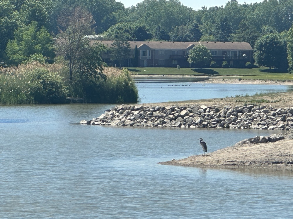
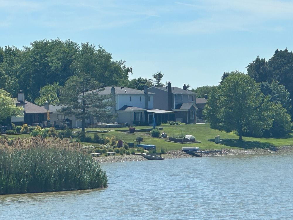
I count about 40 homes with frontage on the lake, plus some apartment complexes and senior living centers. People can sometimes be seen fishing from their backyards or launching off in small boats.
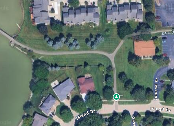
The entrance is off Island Drive, a curving road lined with homes and condos.
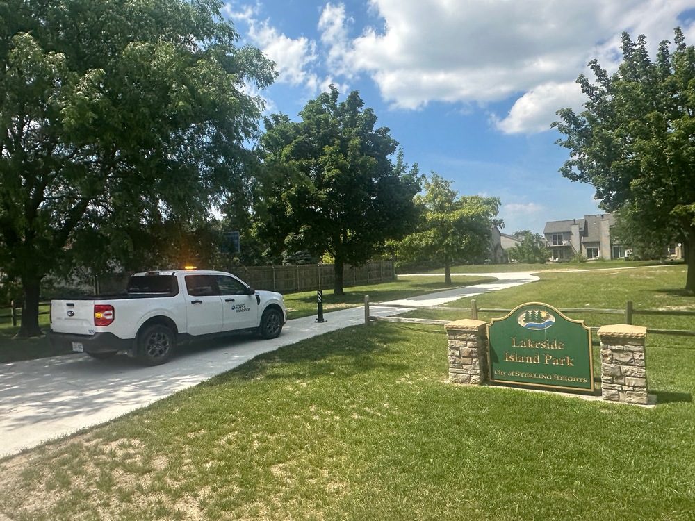
The footpath to the bridge is flanked by a mixture of homes, apartments and condos that all share this big grassy area, where you can often see kids playing and grown-ups chatting.
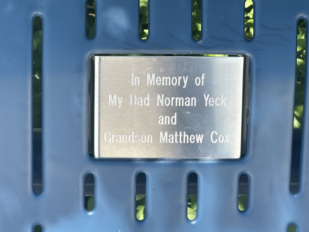
The first thing that greets you on the island is a bench dedicated to “my dad Norman Yeck and Grandson Matthew Cox.” It’s not clear who these people are; eventually I’ll get around to finding out.
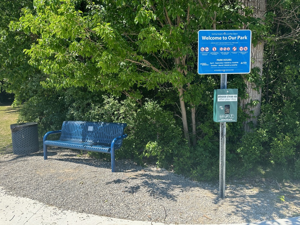
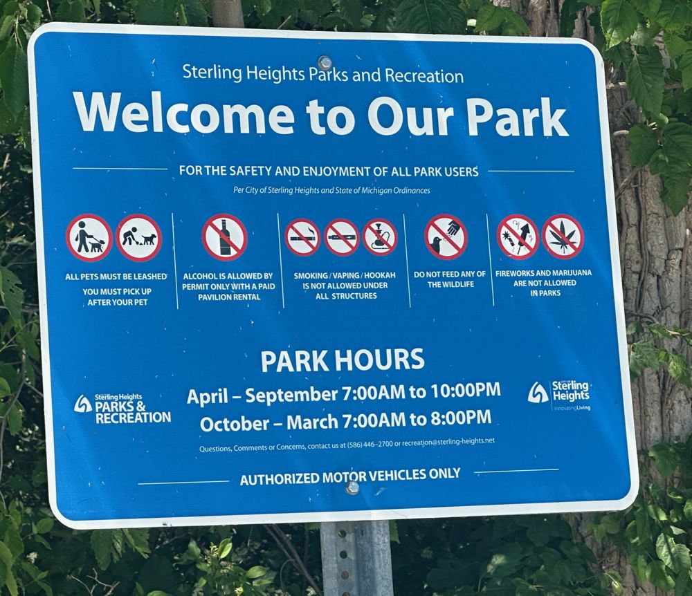
Here are the rules of the park as they stand today:
The island was closed for most of 2025 — late January to Oct. 21 — due to a $1.9 million renovation project that started out as a replacement for the island’s aging bridge but morphed into a general island-wide touch-up.
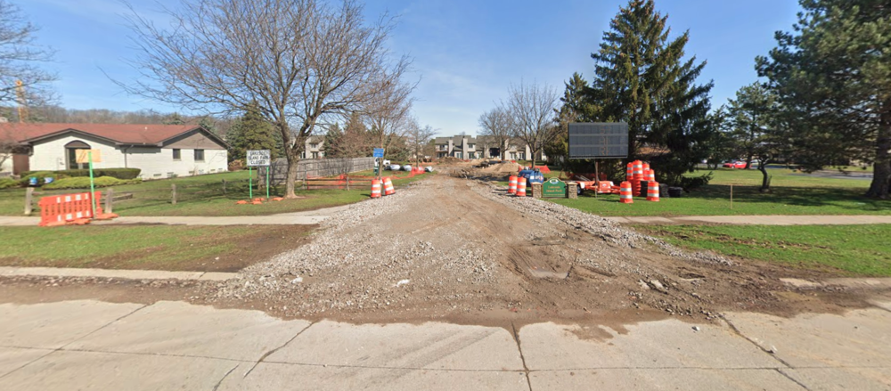
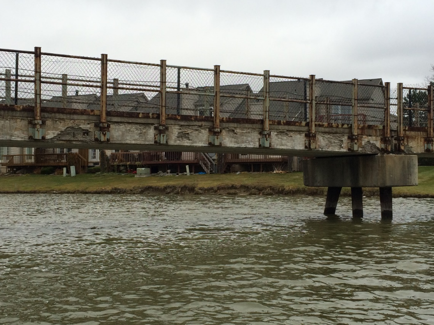
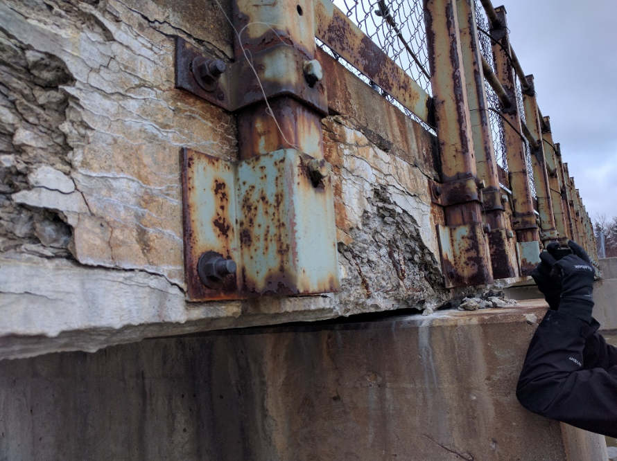
The old bridge was in “very poor condition,” according to the city engineer. Part of it had already been “closed off for reasons of safety since 2016,” making park maintenance “severely limited” and public safety “seriously compromised.” I remember the old bridge being kind of gritty but don’t have any photos of it. Here are some photos that were presented to City Council to justify the replacement:
The new bridge is described as a “large culvert crossing.” It’s wider than the old bridge and has a removable bollard at the front to allow for vehicle access if needed.
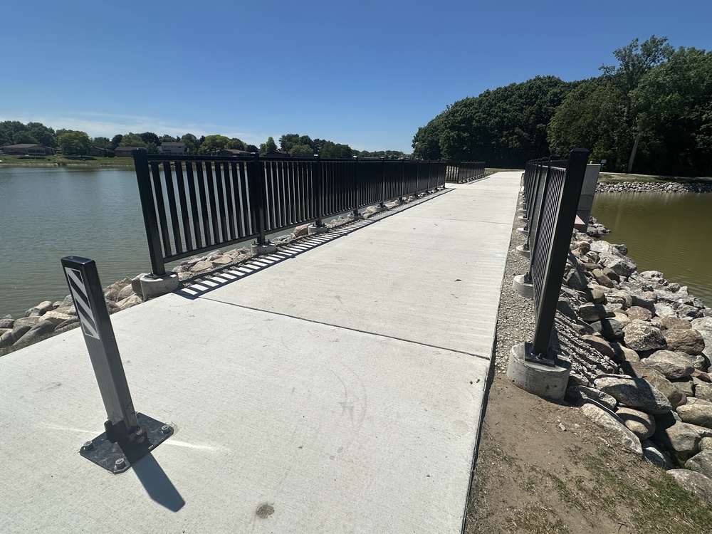
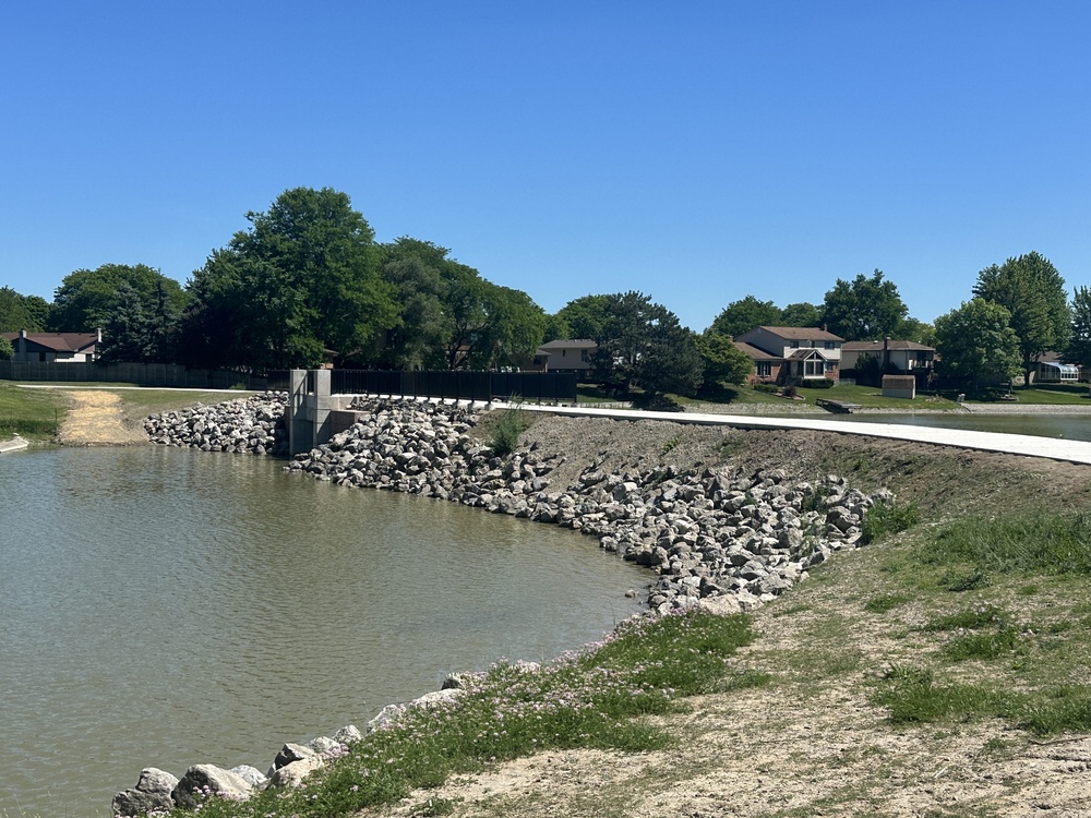
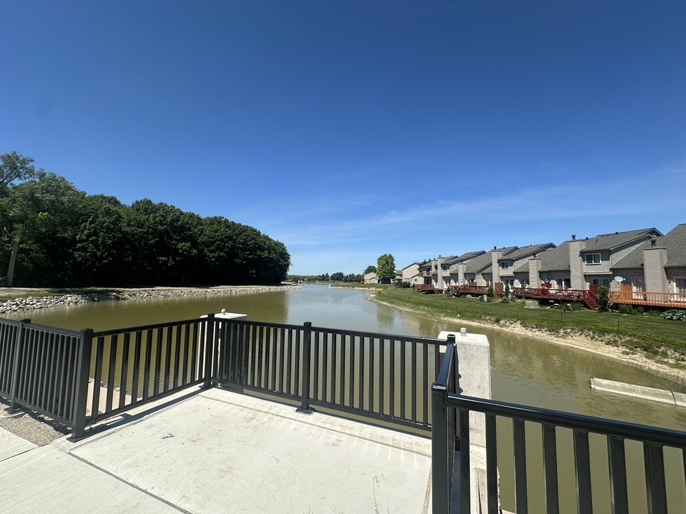
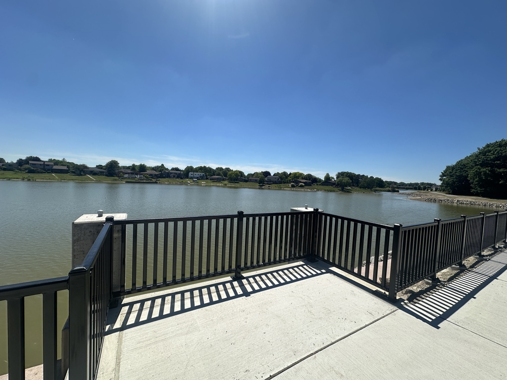
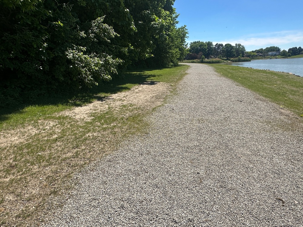
In addition to the new bridge, they laid down gravel to formalize the walking path, which had previously just been a worn path beaten into the grass.
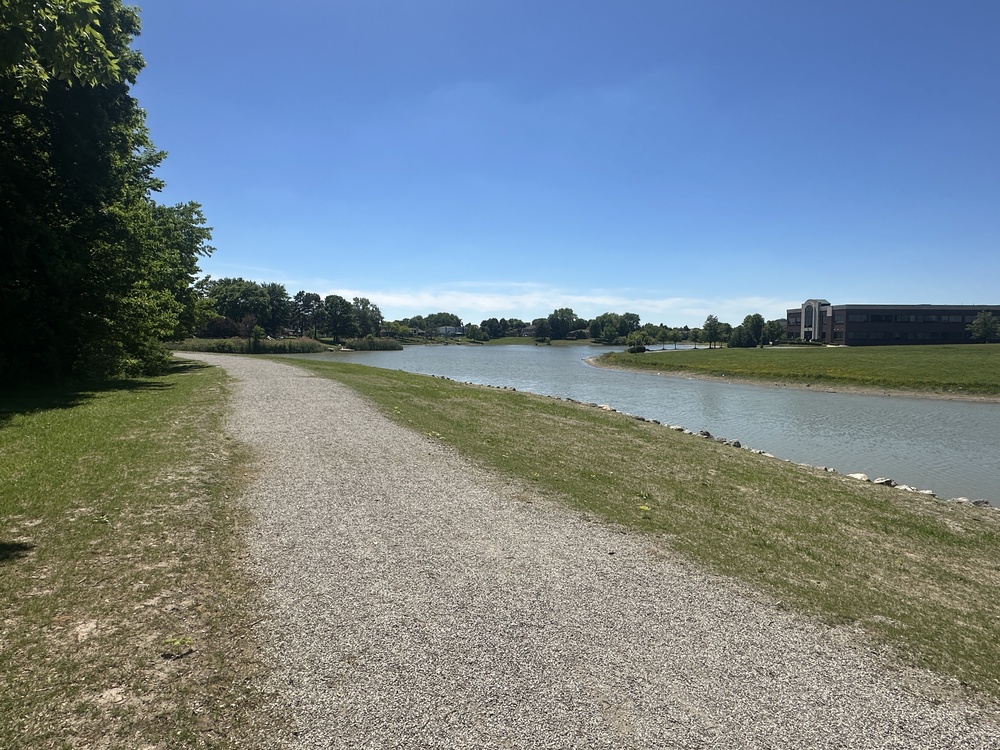
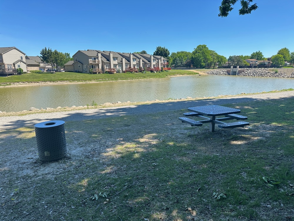
They also started messing with the furniture, removing a bench here and installing a new picnic table there. As of now, there are two picnic tables and a bench, each with a garbage can next to them.
The city also said they improved access for things like paddleboats, canoes and kayaks, by which I think they mean the earthen ramps down to the water at the north and south ends of the island.
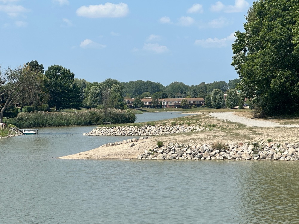
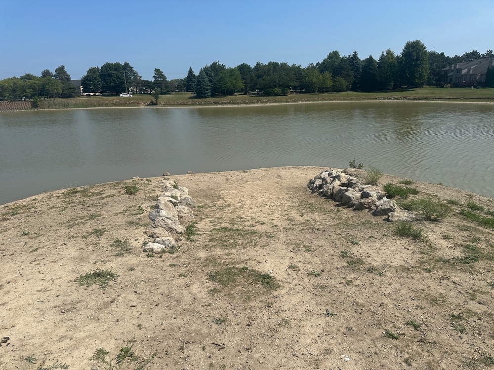
Finally, they allocated funds to stabilize the shoreline against erosion. Because the lake — officially and hilariously known as Lakeside Lake — functions as a stormwater retention pond for the surrounding area, its water level changes “dramatically based on run-off,” according to the city engineer, and without reinforcing the shoreline, it would erode so much that making other improvements now would be futile.
The erosive effects of the storm water has been significant since the creation of Lakeside Lake and the parkland will continue to shrink unless shoreline stabilization measures are implemented. It simply doesn’t make sense to effectuate improvements to a public park that is deteriorating because of a lack of protection.
Here’s a view from inside the forest, at the junction of where the four trails meet.
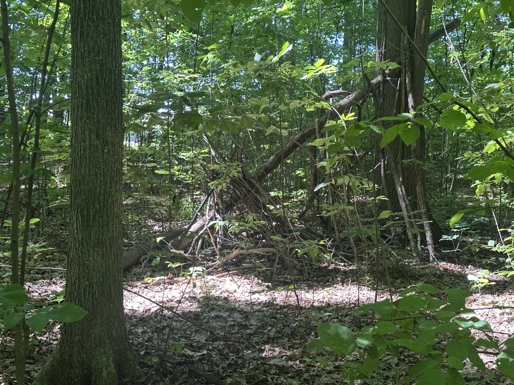
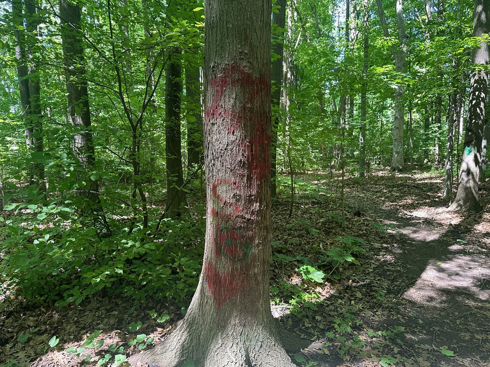
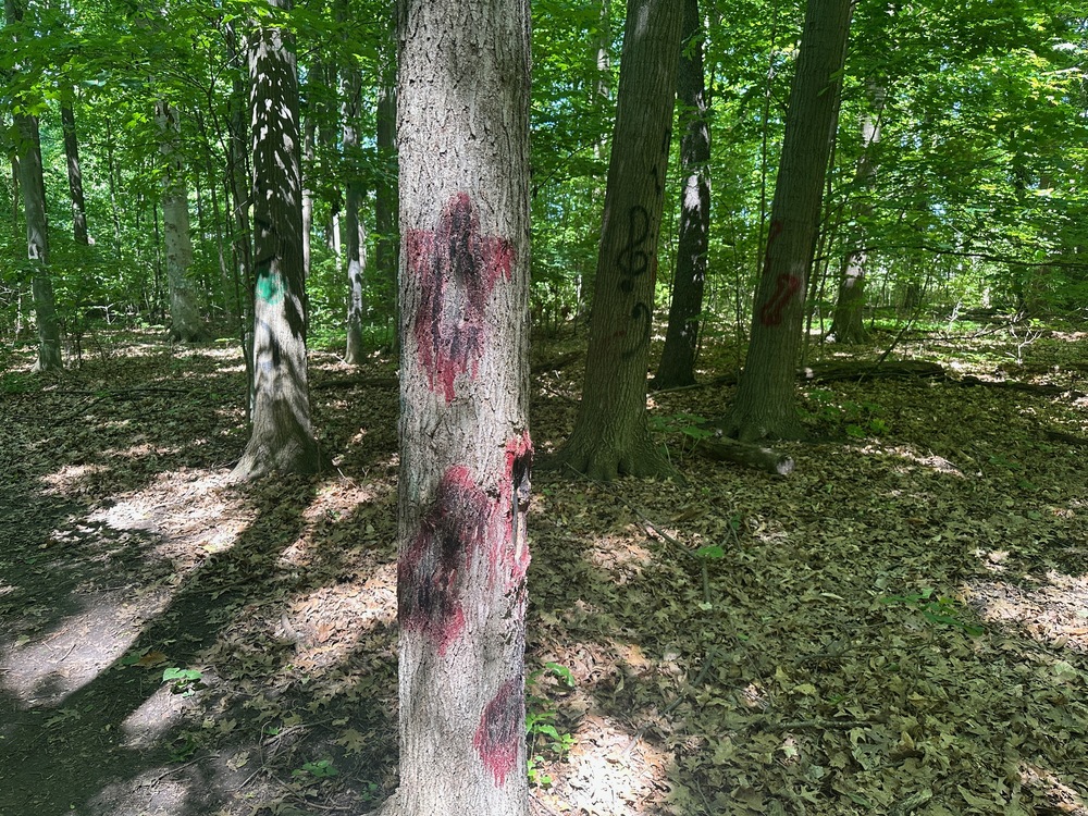
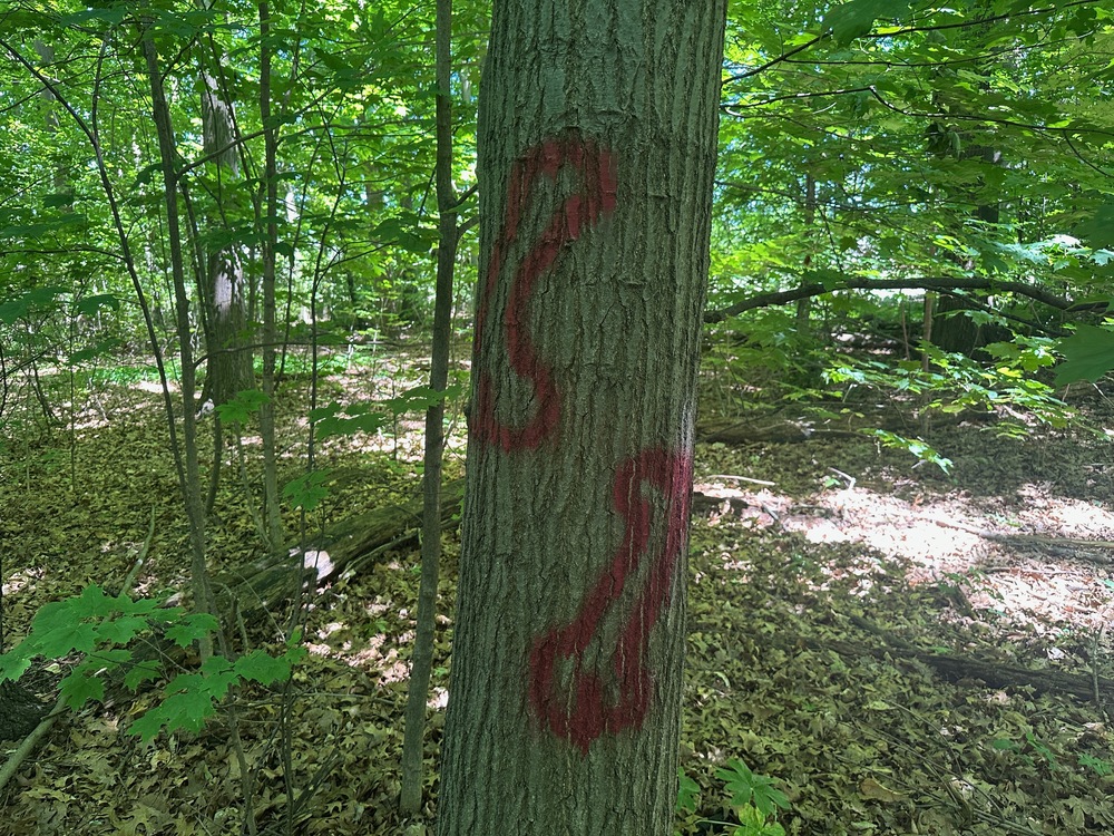
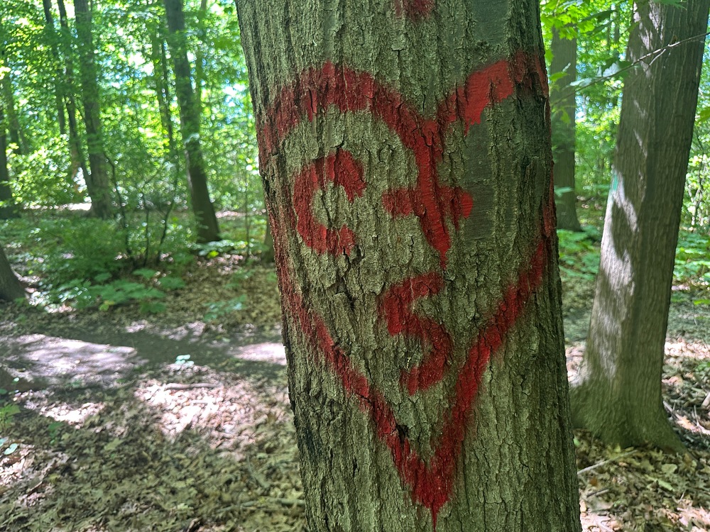
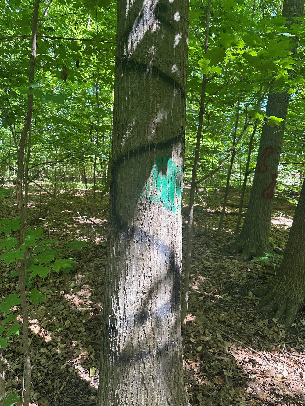
Here’s an index of the forest’s artwork.
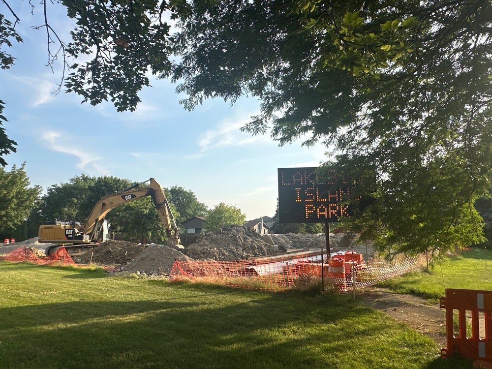
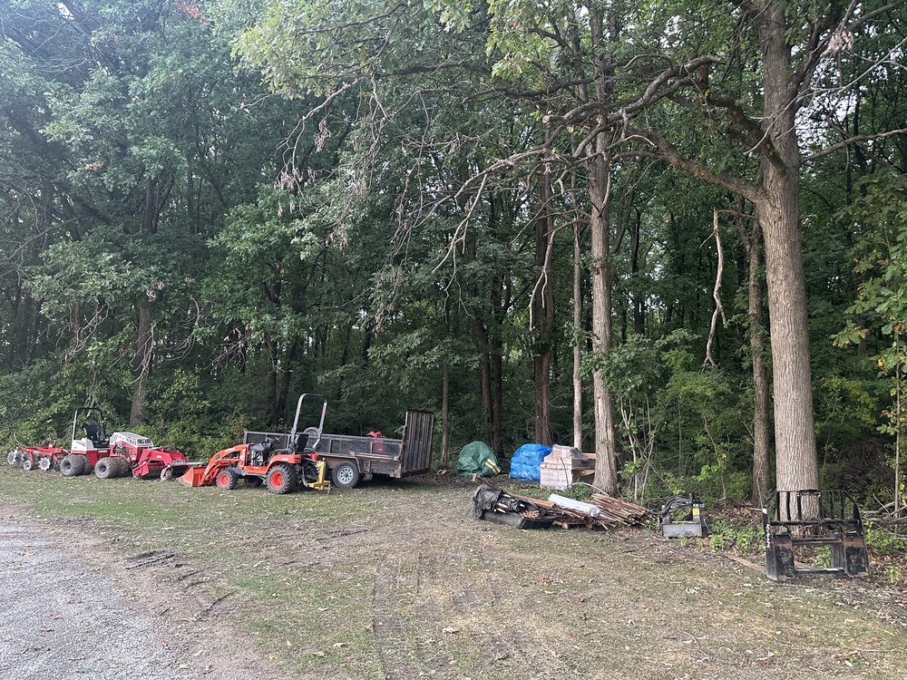
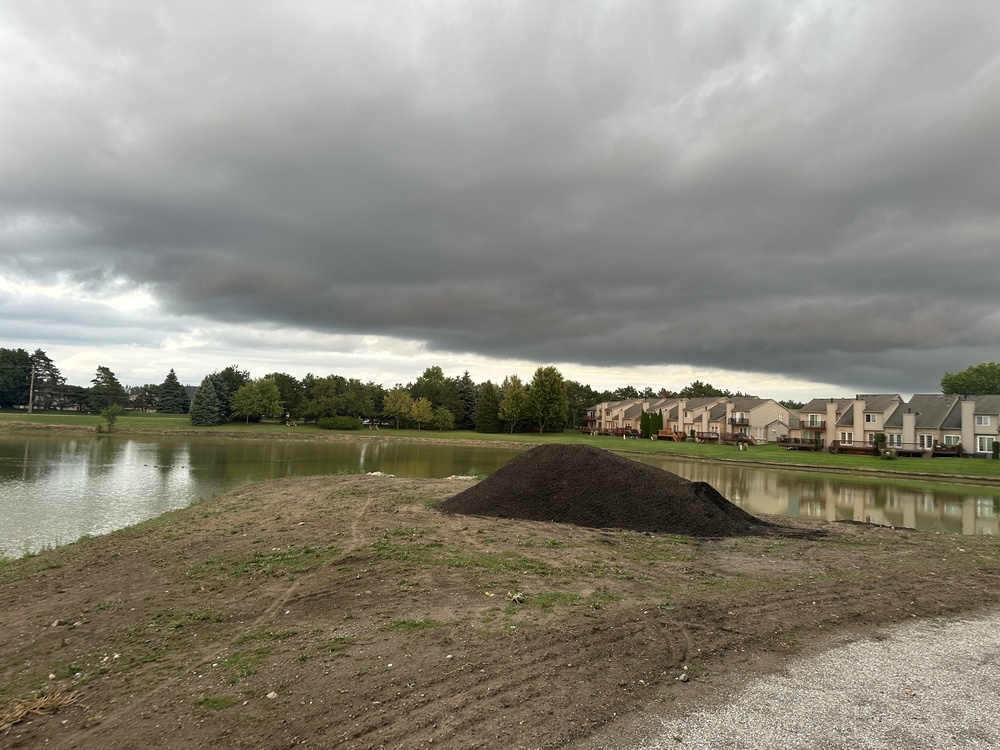
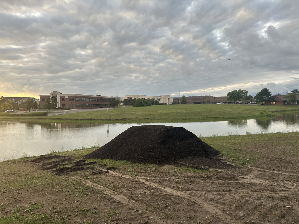
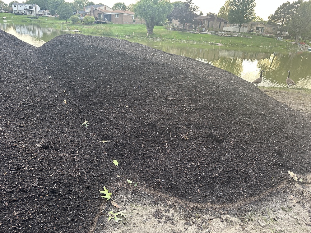
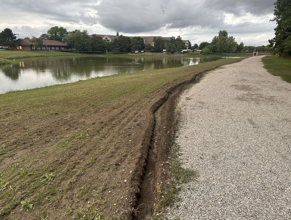
When I took one last walk to the island before posting this article, I saw some sort of landscaping work going on. There are some working vehicles parked by the forest, a few big piles of dark earthy material, and a small channel dug along the outer edge of the gravel path. We’ll see what they’re up to.

That’s Lakeside Island Park. There’s not much to it, but it’s the nicest walk in the vicinity. For those who can reach this park by foot, it’s really the only park that can be reached by foot in a reasonable amount of time. I’d be thrilled if it also hooked up to a little area full of places to walk in and spend money, ie, the future Lakeside City Center, but who knows if I’ll still be living here by the time it becomes reality.
Comments
Leave a comment