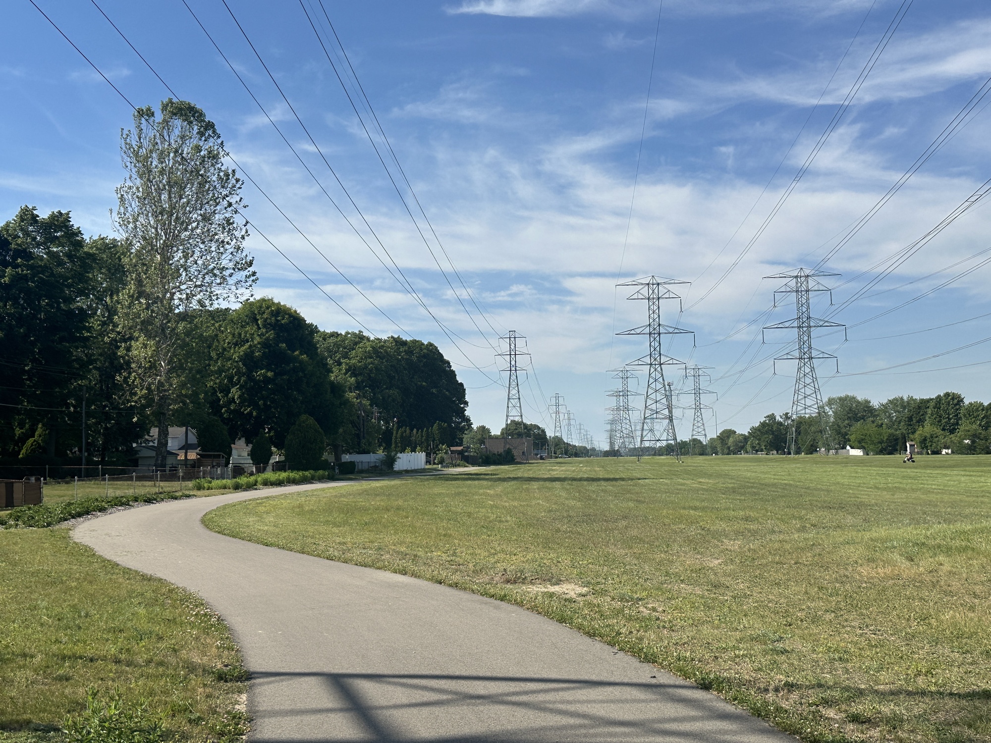
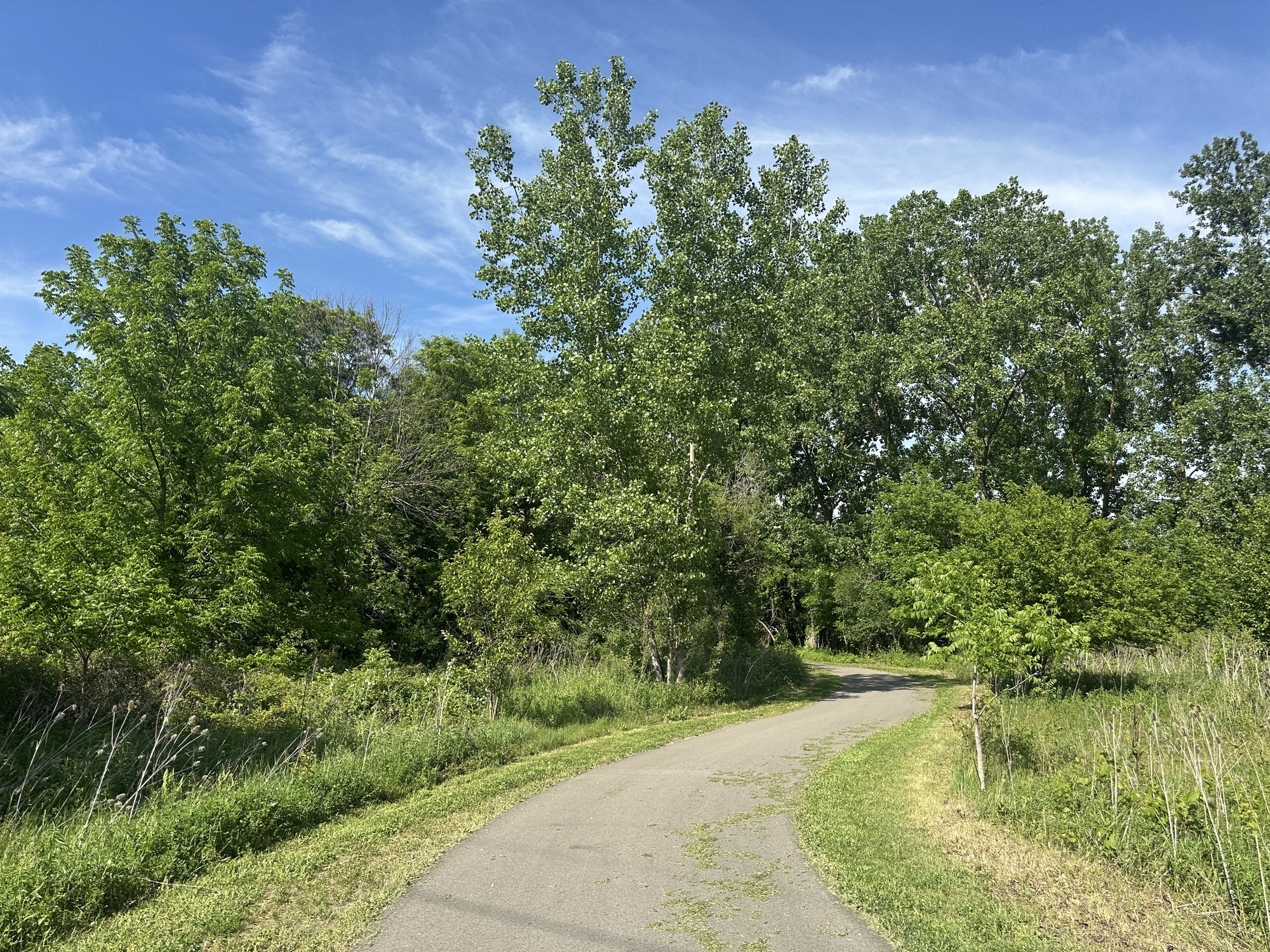
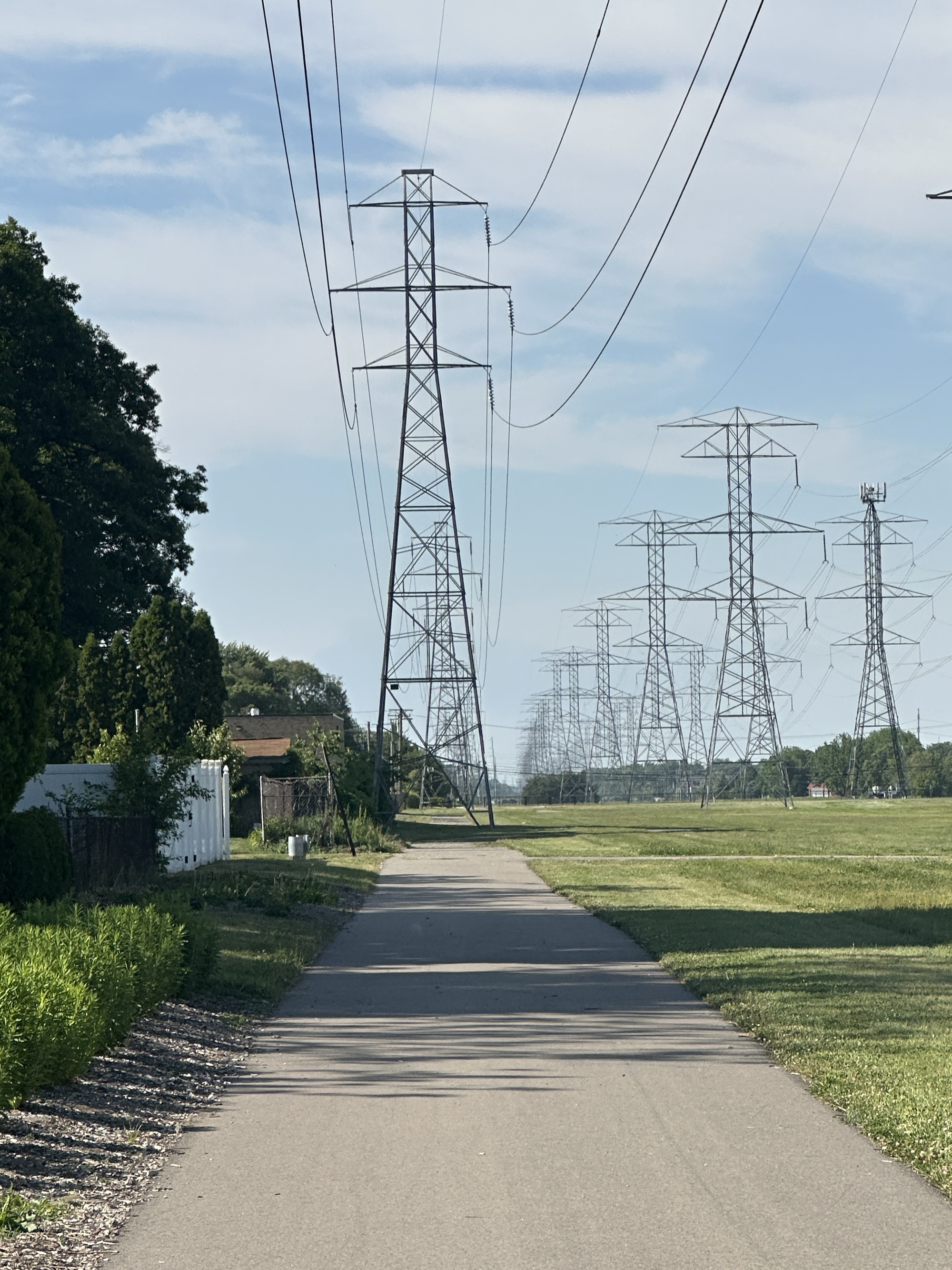
Two days ago, I checked out the ITC Trail in Sterling Heights for the first time. It’s a new trail that opened last year, a roughly 3-mile paved pathway through what was formerly only a power line corridor with neighborhoods on either side. The acronym in the trail’s wonky name stands for International Transmission Company, which operates the power lines. Most importantly, the trail is just a couple of miles away from me, something not to be taken for granted in the car-dominant sprawl.
From one end of the trail to the other and back again, I walked 6.19 miles, spent 2 hours and 12 minutes, saw 22 other people using the trail and got barked at by three backyard dogs. The temperature was at its daily high of 87F for most of the walk. The fact of being beneath power lines meant there were no trees for shade, but a slight breeze made it tolerable.
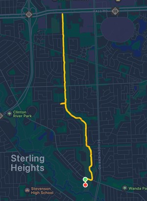
Even a trail as simple as this is a huge boon to the experience of being on foot in this particular area, and there is talk of additional trails that could hook up to this one. They cut the ribbon on it last May after a couple of years of work and around $3.2 million from the American Rescue Plan Act. That money also went toward improvements at the obscure cul-de-sac that serves as the parking area. All in all it sounds like a pretty good and easy story for a new pedestrian path in metro Detroit; resident complaints must be buried in Facebook comments or City Council minutes, because news coverage of them is slim.
Keep reading for a timestamped log of everything I saw and thought along the trail.
5:02: The sound of cars from Clinton River Road is already muffled.
10:13: Blue jay just swept down over the trail.
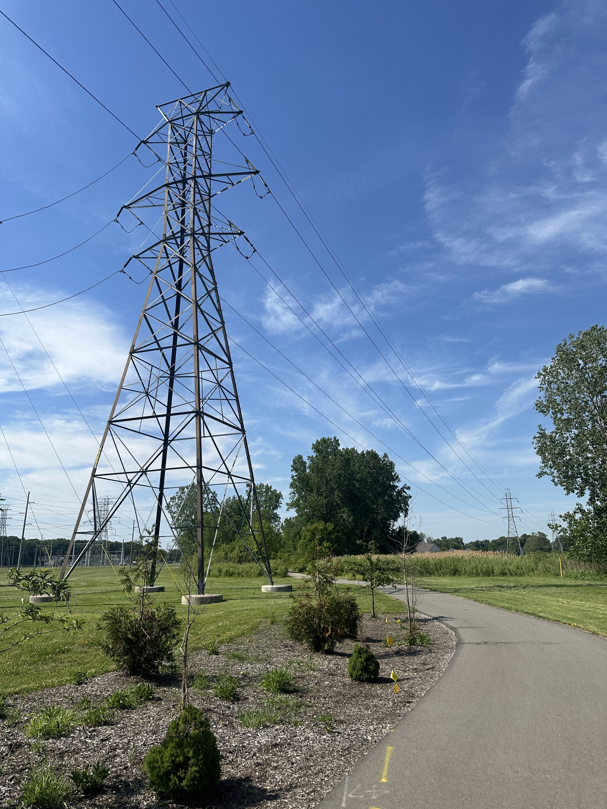
15:51: The omnipresent power lines are inspiring me to contemplate civilization and the infrastructure that holds it together.
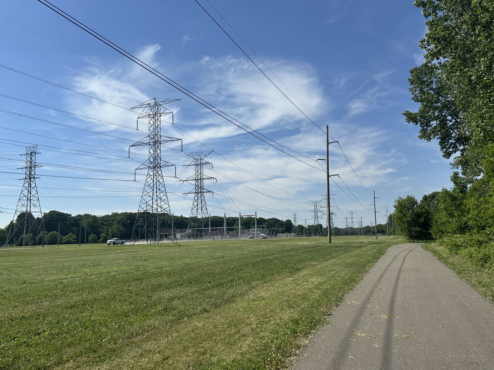
21:45: It’s hot. I’m very exposed out here. Hopefully the trees they’re planting will start to provide some shade.
29:01: The length of this walk is setting in.
32:15: Just saw a biker go under one of the pylons… it looks like the trail might go under it?
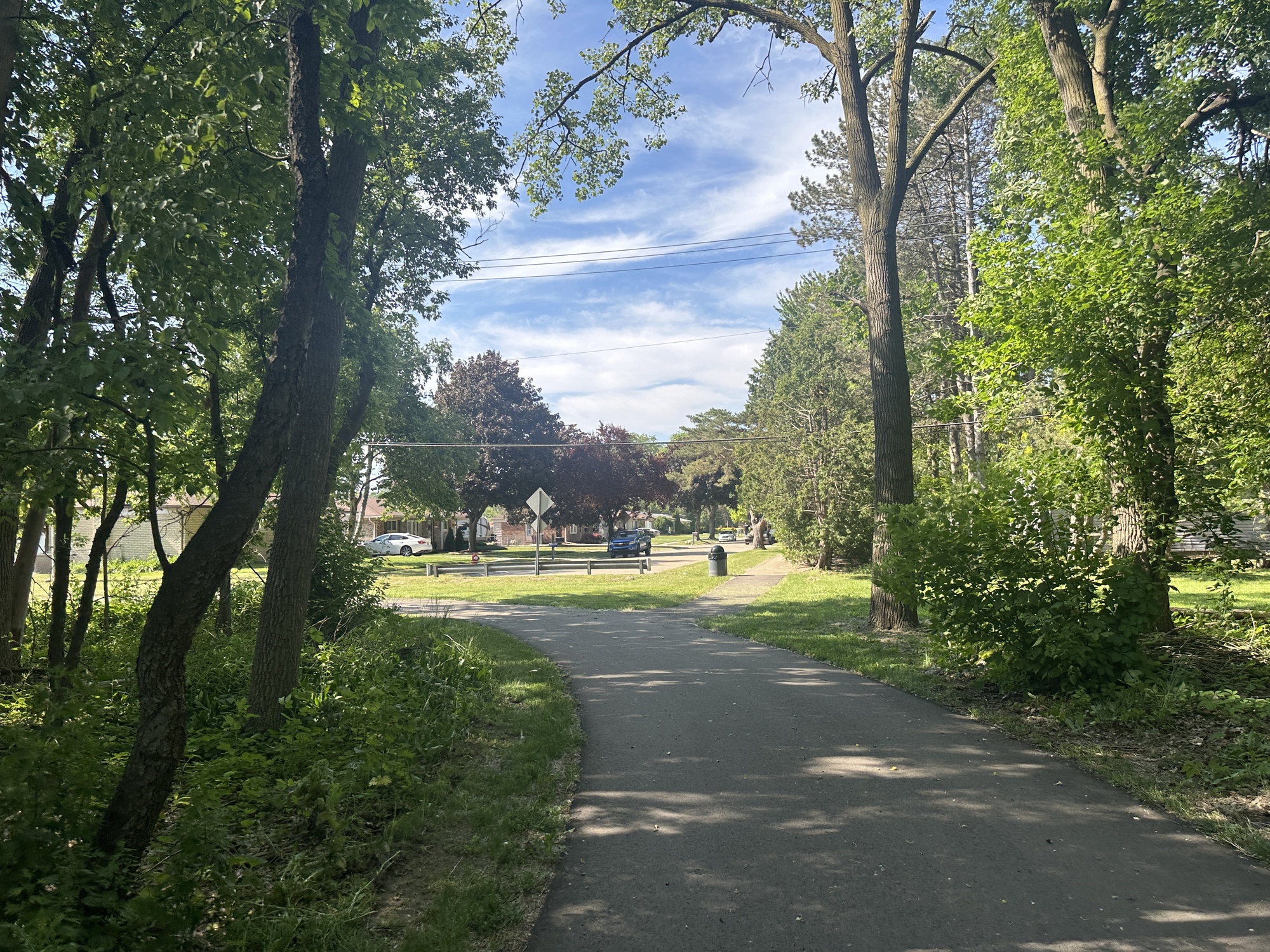
33:36: I like the way this trail connects to various neighborhoods along its length. Seems like it could weave subdivisions together in ways they weren’t before.
34:12: The biker tricked me. The trail actually skirts around the power line. He just chose to defy it.
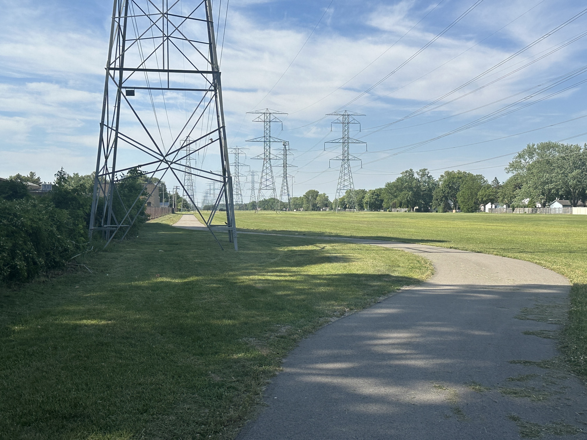
36:56: Just realized that maybe if they planted more trees for shade, they’d interfere with the power lines.
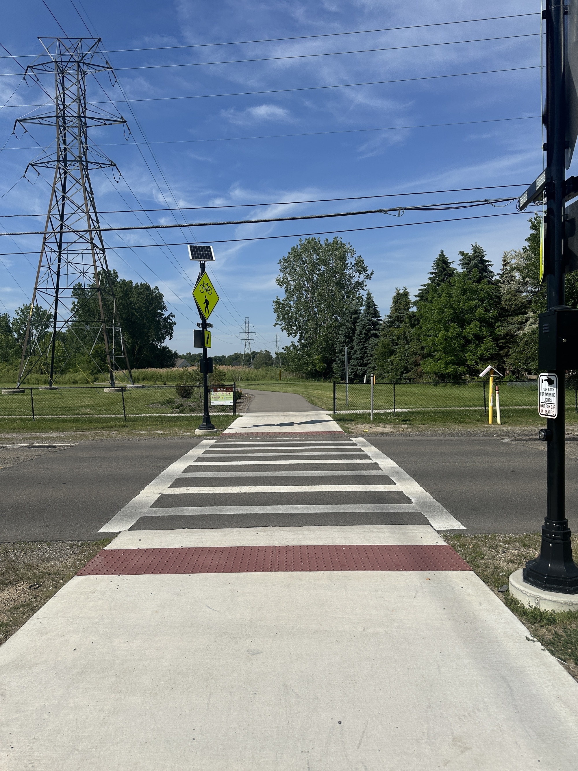
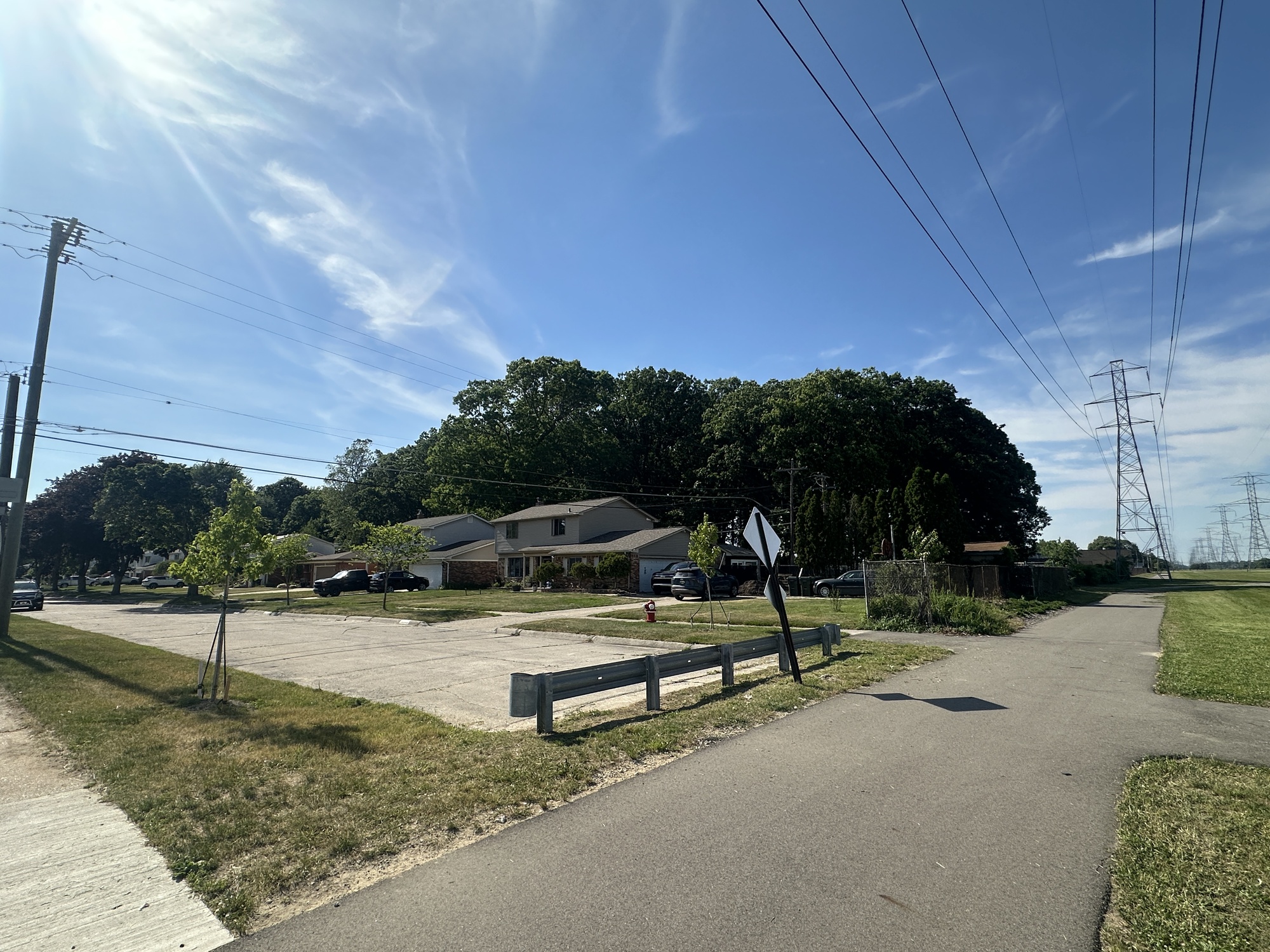
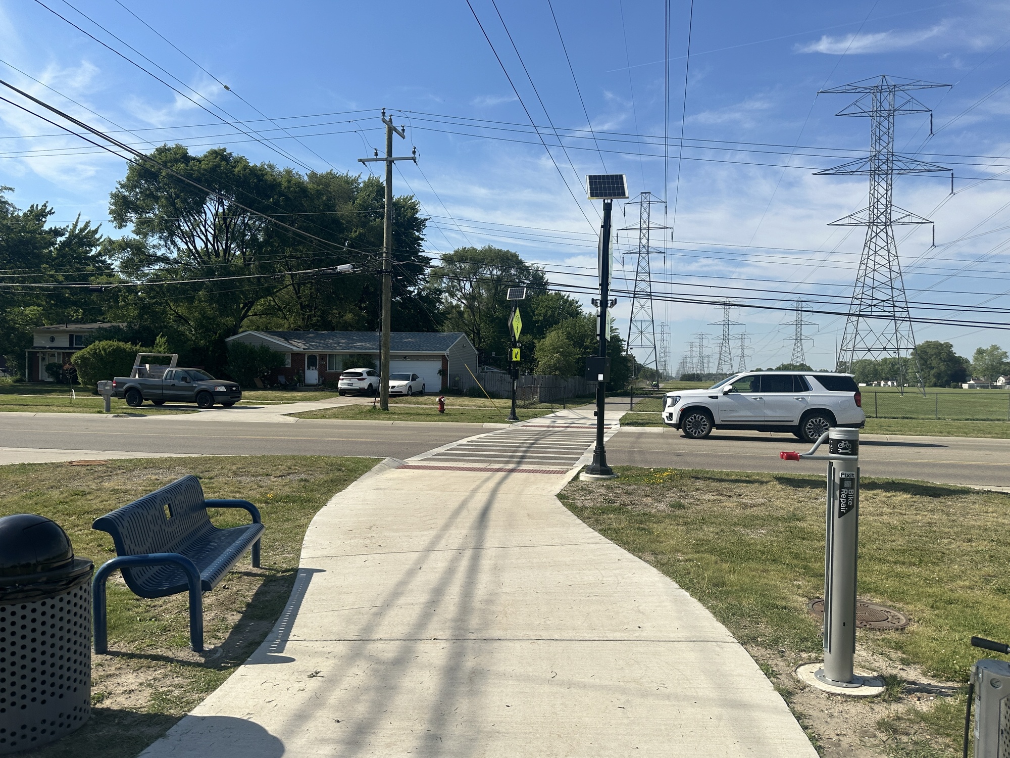
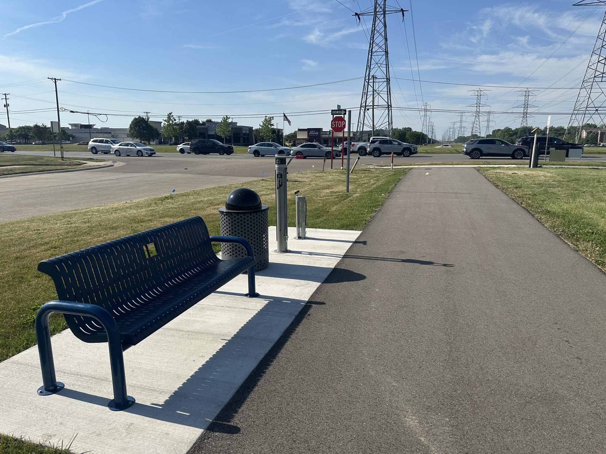
39:10: Just crossed 19 Mile. The crossing station was well equipped, with a bench and bike repair station. Traffic doesn’t stop for any of the crossings along this trail. Pedestrians just have a button to activate some “warning lights” and are instructed to “wait for a gap in traffic.”
41:04: I can hear the power lines buzzing.
44:30: The amount of “Beware Of Dog” signs posted on backyards along the trail is officially a lot.
45:55: This section has been pretty dull.
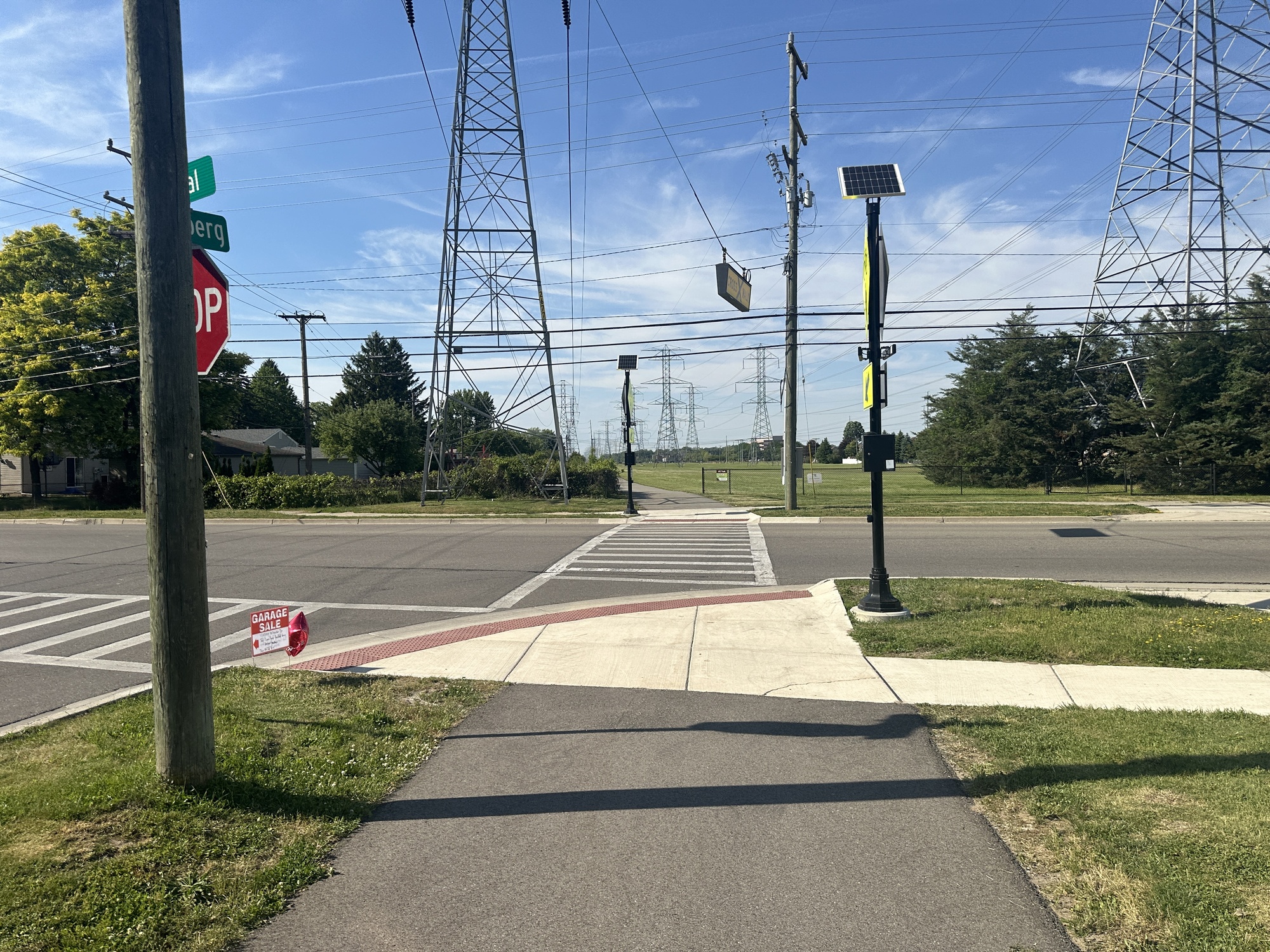
50:07: Just crossed Canal. That crossing was not as well equipped — no bike repair station.
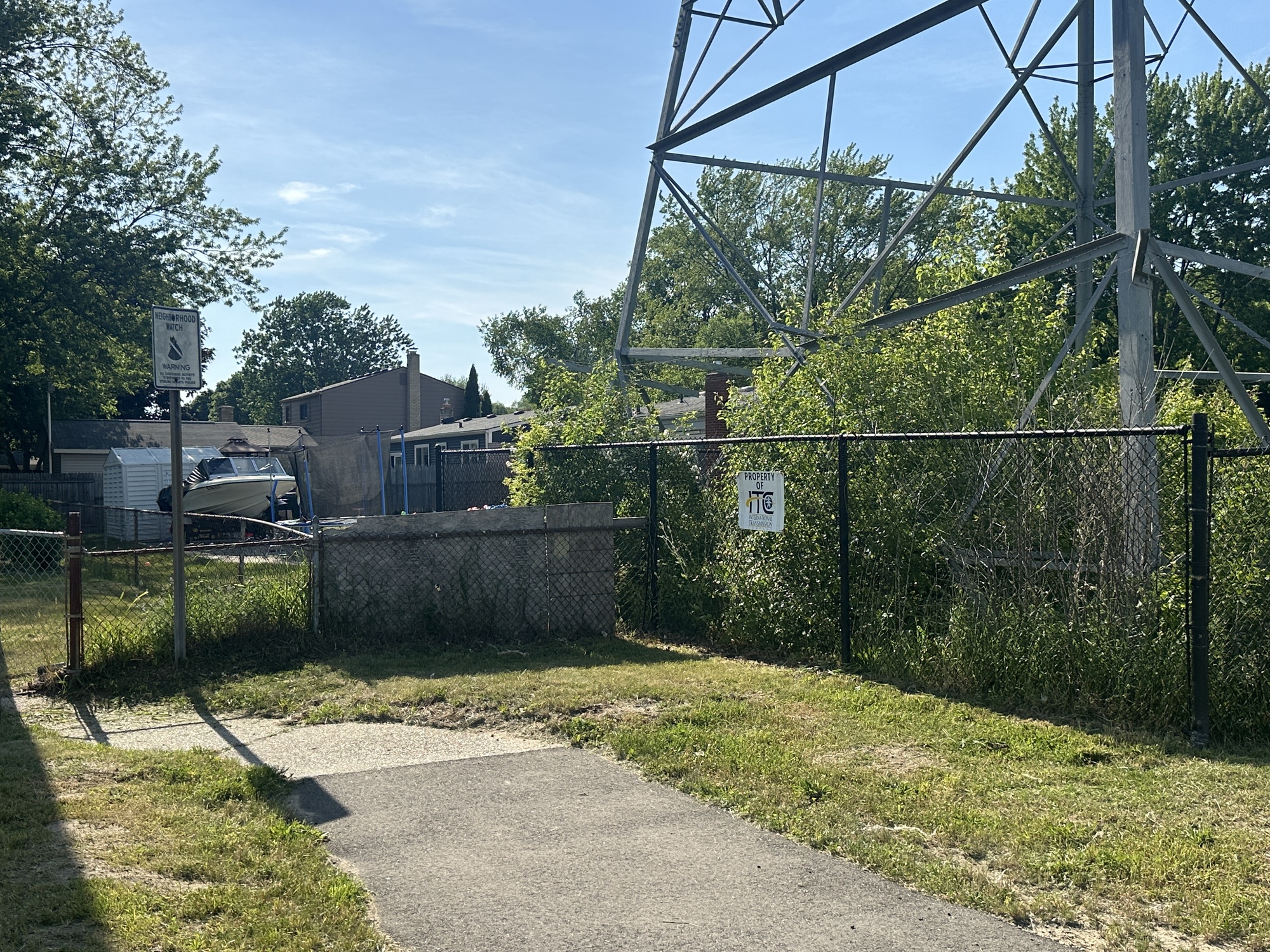
51:31: I’m starting to see how it could be annoying to have this trail going by your backyard. There are starting to be Neighborhood Watch signs directed at trail users.
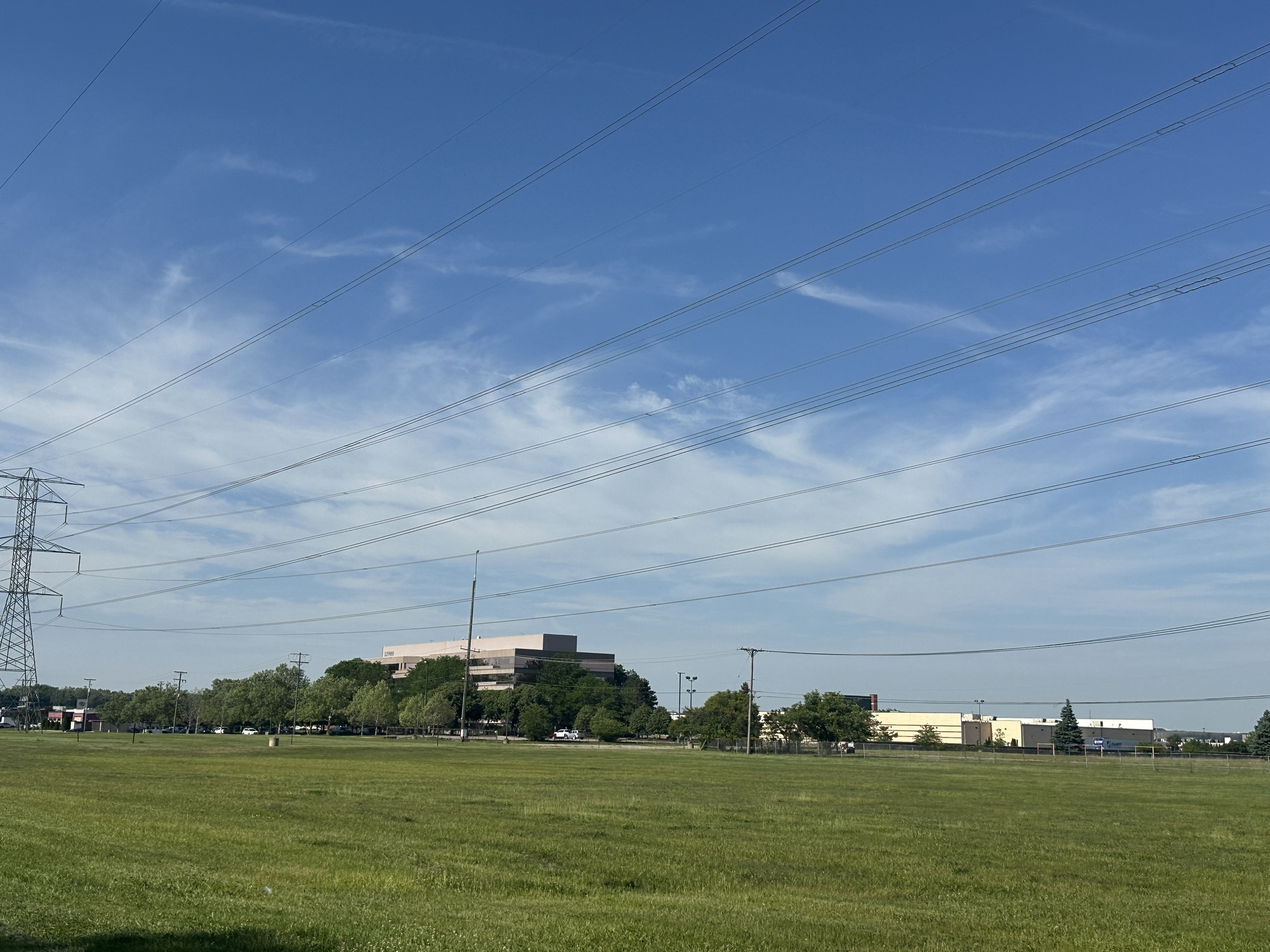
53:40: Caught sight of distant buildings along Hall Road — nearing the end.
55:43: This Neighborhood Watch sign is strategically posted at what would otherwise be a prime smoking corner.
63:44: Made it to the north end of the trail. It stops here, but the strip of power lines continues across the street into another town called Utica. I turned around and started retracing my steps.
76:57: Crossed Canal again.
86:34: I wish I put on more sun screen.
87:28: Crossed 19 Mile again.
95:57: For the last few minutes I’ve been hearing the jingle of an ice cream truck patrolling the adjacent neighborhood. Finally I caught sight of it and bought a cookies and cream bar.
99:08: Passed a sweaty runner and felt bad for enjoying my ice cream on a leisurely walk.
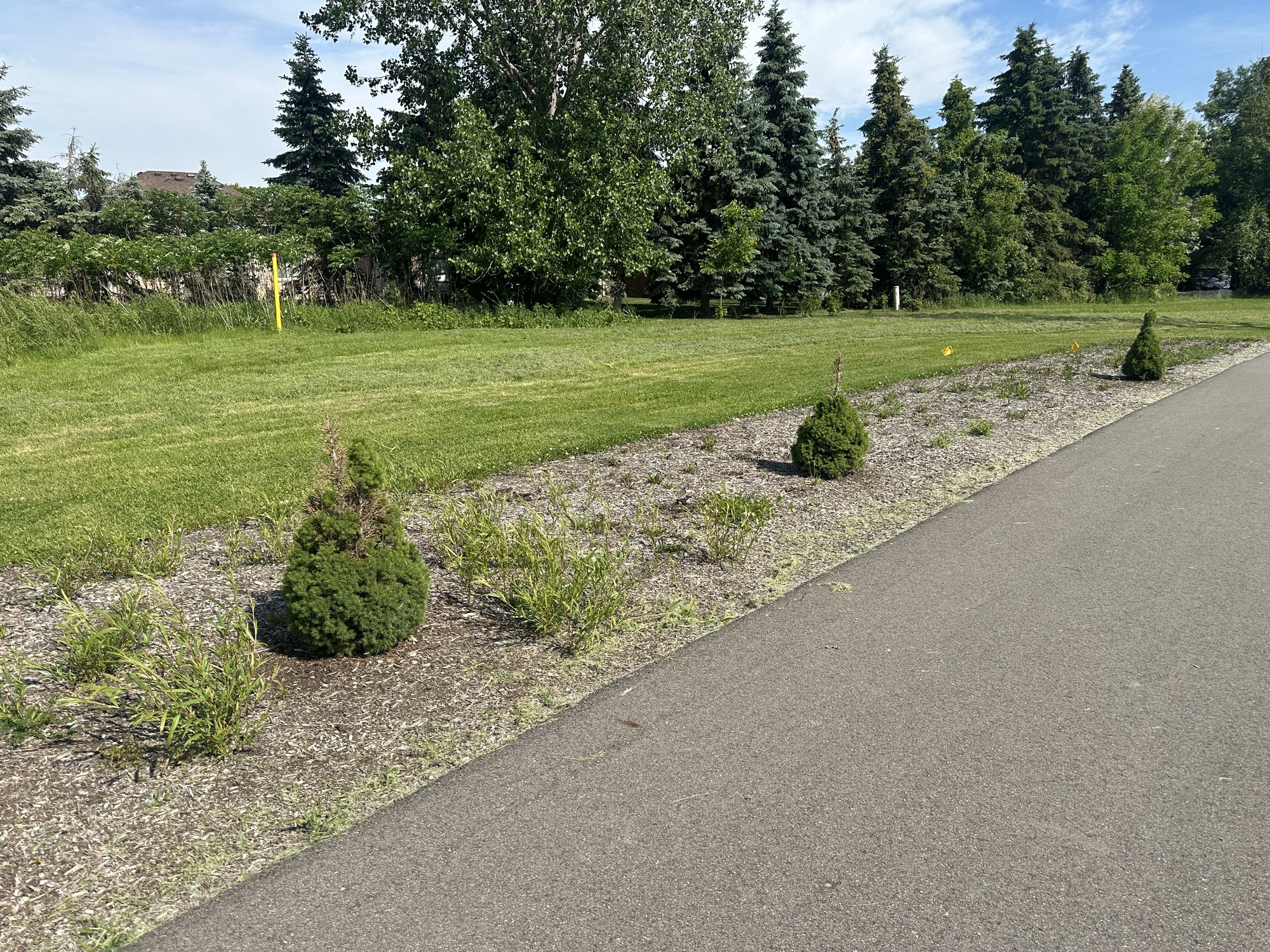
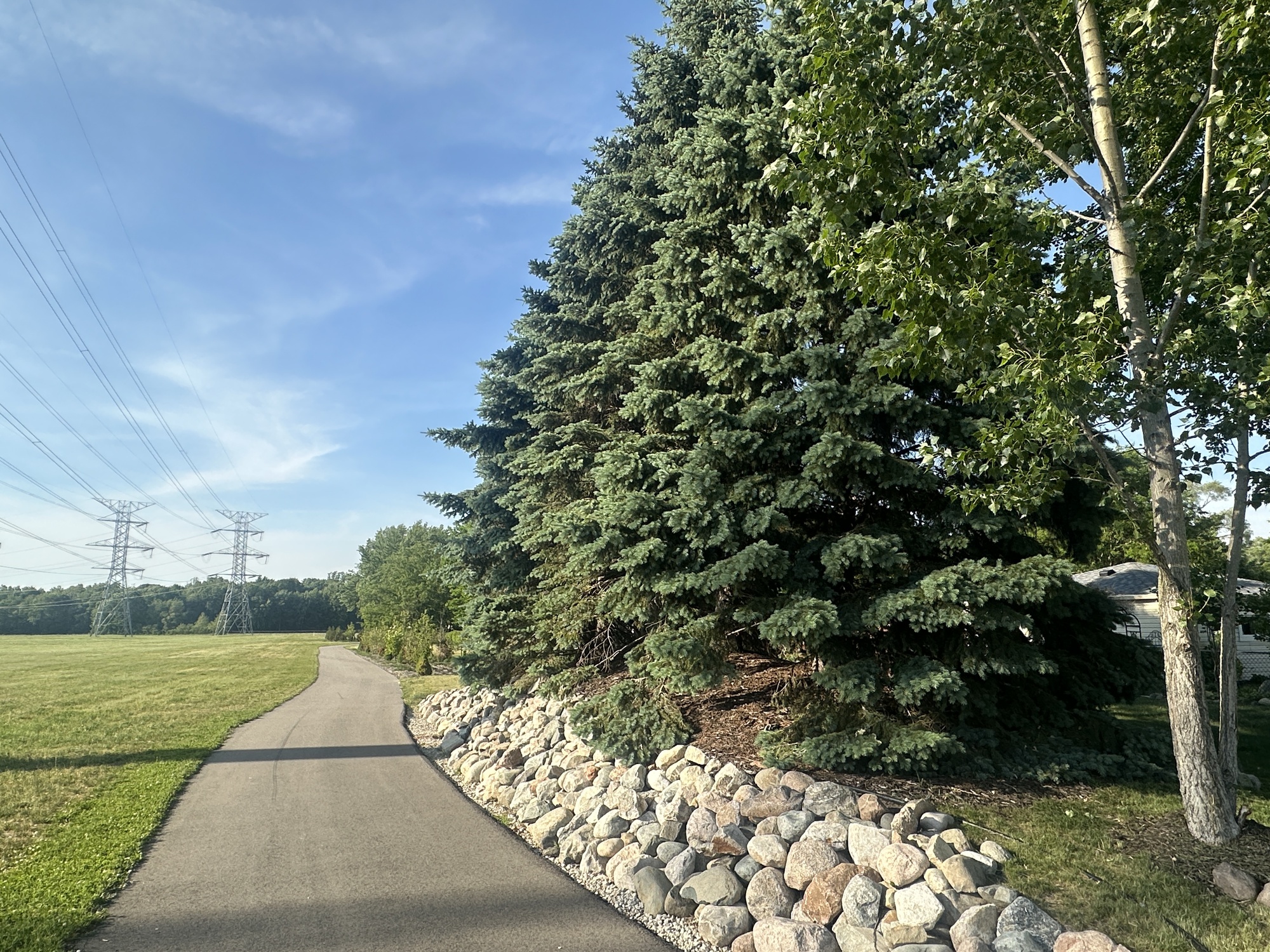
111:06: These full grown spruce trees on a raised landscaped area lined with boulders — moved here, I guess? A bit of McMansion aesthetic here.
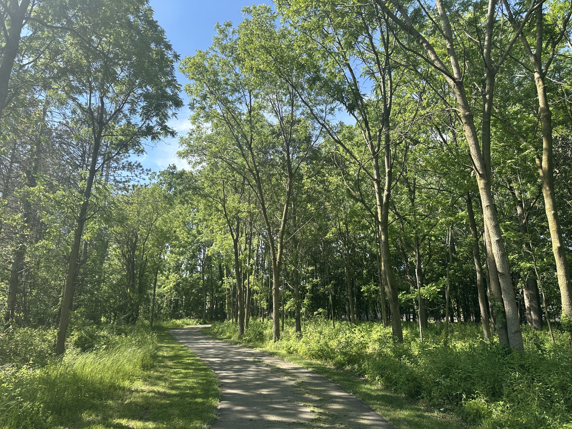
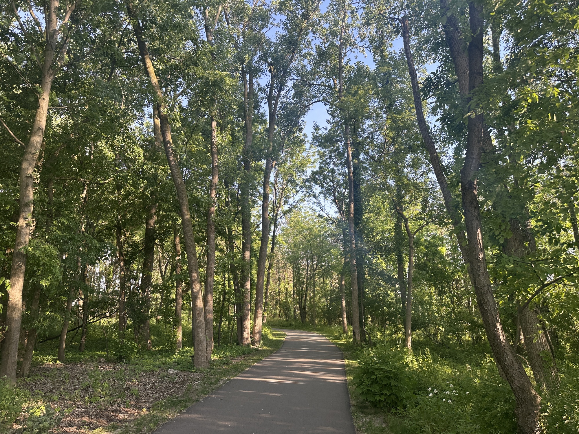
117:53: This shaded part is a relief—reminds me how nice non-power-line-based trails are!
127:05: Crossed Clinton River road again. My car is in sight.
132:32: Back at my car. There were only a few cars when I got here, but now almost all 22 spaces at the trailhead are filled. It’s 6:55 PM on a Thursday.